Carved out of the erstwhile District of Cuttack, Kendrapara District is situated in Central Coastal plain zone of Odisha. The District is bounded by Bhadrak District at its North, Jajpur at its North West ,Jagatsinghpur District at its South, Cuttack District at its West and Bay of Bengal at its East. Kendrapad District lies in 20 degree 20’ N to 20 degree37’ N Latitude and 86 degree 14’ E to 87 degree 01’ E Longitude. The Coastline of Kendrapara District covers 48 Km stretching from Dhamra Muhan to Batighar.
In 1st April, 1993 Kendrapara District was created form the mother District Cuttack. Kendrapara is the administrative headquarters of Kendrapara District. The District covers an area of 2, 644 sq km. There are total 1592 villages in the District comprising 1,440,361 population as per 2011 census.
In the present scenario of administrative set up, there are 9 Blocks, 9 Tahsils, 1 Sub-division (Kendrapara) in the District. There are 249 gram Panchayats, 15 Police stations, 2 ULBs functioning in the District. Kendrapara Municipality was established in 1869, first Municipality of Odisha.
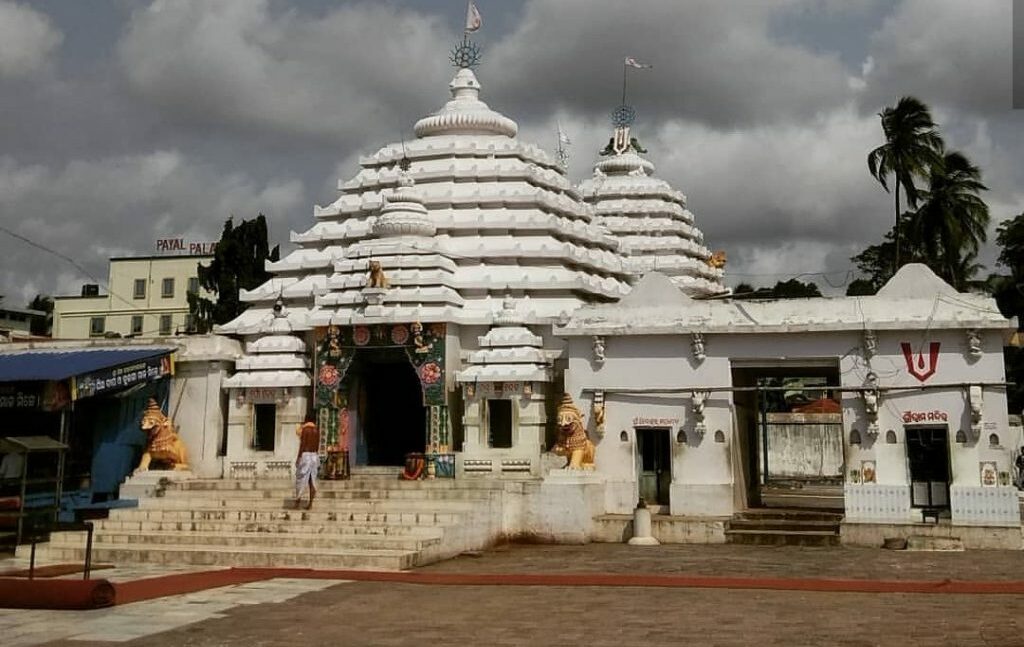
Headquarters of Kendrapara District is well known as the Tulasi Khetra.
There are many prominent tourist places in Kendrapara District. One of the famous spot is ‘Bhitara Kanika National Park’. Most popular Buddhist Shrines , Udaya Giri and Ratna Giri are just 10–15 km drive from Kendrapara. Sri Baldevjew Temple is the most popular temple of the District. Kendrapara is known as Tulashi Kshetra.
Kendrapara District celebrates many festivals round the year like Ratha Yatra, Gaja Laxmi Puja , Durga Puja, Dola Yatra.
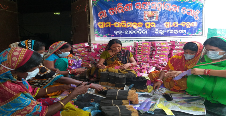
Kendrapara District is famous for Golden grass, Soft toys and tera cota activities which is done by WSHG.